5 Ways Lunar Laser Technology Could Revolutionize Moon Navigation
Imagine a future where astronauts exploring the Moon can pinpoint their location with the same ease as using GPS on Earth. Scientists are now investigating a groundbreaking concept: deploying lasers in the Moon's permanently shadowed craters to create a high-precision navigation network. This system would support NASA's Artemis missions and future lunar explorers, offering accuracy far beyond current methods. Here are five key aspects of this innovative approach that could transform how we navigate the lunar surface.
1. The Concept of a Lunar GPS System
At its core, this idea involves placing stabilized lasers in the coldest, darkest craters near the lunar poles. These lasers would serve as reference points, emitting light that spacecraft and astronauts can detect to triangulate their positions. Unlike Earth's GPS, which relies on satellite signals, this lunar version would use reflected laser beams to calculate distances and directions. The goal is to achieve centimeter-level accuracy, essential for safe landings, rover navigation, and scientific exploration. By creating a network of such lasers, we could establish a reliable positioning system that functions even in the Moon's harsh, low-light environment.
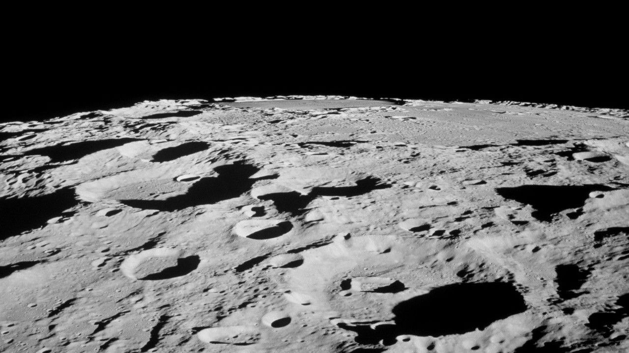
2. Why the Moon's Coldest Craters?
The laser stations would be placed in permanently shadowed craters where temperatures drop to around -230°C. These ultra-cold conditions are ideal because they minimize thermal expansion and contraction of the equipment, ensuring the lasers remain exceptionally stable. Optical instruments are highly sensitive to temperature fluctuations, so the consistent cold of these craters reduces drift in laser alignment. Additionally, the absence of sunlight prevents interference, allowing the lasers to operate continuously without power interruptions. This natural cryogenic environment acts as a perfect stabilizer, making the system more reliable than surface-based alternatives exposed to extreme temperature swings.
3. Precision Navigation for Artemis Missions
Future Artemis astronauts will need to traverse challenging terrain, from rugged highlands to deep craters. Current navigation relies on orbital assets and inertial systems, which can accumulate errors over time. A lunar laser GPS would provide real-time, high-precision fixes, reducing landing zone uncertainties from hundreds of meters to just centimeters. This is critical for reaching scientifically valuable sites near the south pole, where resources like water ice are thought to exist. The system would also support autonomous rovers and uncrewed landers, enabling complex operations such as coordinated multi-vehicle surveys or mineral extraction. Ultimately, it could make lunar exploration safer, more efficient, and more ambitious.
4. How the Laser Network Would Work
The proposed network would consist of multiple laser stations placed along crater rims or interiors, each emitting a narrow, stable beam. Astronauts or spacecraft would carry retroreflectors or detectors to receive these signals. By measuring the time it takes for a laser pulse to travel back and forth, a kilometer-level precision can be achieved. Advanced signal processing would account for the Moon's lack of atmosphere and low gravitational disturbances. The lasers would operate in the near-infrared spectrum, invisible to the human eye but easily detected by photodetectors. This system would function autonomously, with ground stations on Earth monitoring overall performance and making occasional calibrations.

5. Challenges and Next Steps
While promising, this technology faces hurdles. Deploying lasers in permanently shadowed craters requires specialized robotics due to extreme cold and low light. Powering the lasers is another issue—solar panels won't work there, so nuclear batteries or beamed power from nearby sunlit areas may be necessary. Signal degradation over long distances and maintaining alignment over years also need solving. Researchers are currently simulating the system's performance and testing prototype components in lunar-analog environments. NASA's upcoming Commercial Lunar Payload Services (CLPS) missions could carry small-scale test units to validate the concept. If successful, a full network could be operational by the early 2030s, revolutionizing lunar navigation.
In conclusion, the vision of a lunar laser GPS system represents a leap forward in space exploration technology. By harnessing the Moon's unique environment, we can create a robust navigation tool that supports human and robotic missions alike. From improving landing accuracy to enabling complex surface operations, this innovation could become as indispensable to lunar travelers as GPS is to us on Earth. As Artemis prepares to return humans to the Moon, such developments will be key to building a sustainable presence beyond our planet.
Related Articles
- Critical Wi-Fi Flaw Exposes Enterprises: AirSnitch Attack Bypasses WPA2/3 Encryption
- Rare Triple-Planet Alignment Visible in May: Venus, Jupiter, and Mercury to Converge at Dawn
- Inside the 7-Day Fast: How Your Body Reinvents Itself
- 6 Game-Changing Features of Adobe Acrobat's New AI-Powered PDF Spaces
- How to Automatically Pinpoint the Culprit Agent and Failure Time in LLM Multi-Agent Systems
- Meaning Crisis Declared Epidemic Among Youth, Harvard Professor Warns
- Long-Horizon Planning with World Models: GRASP Makes It Practical
- How Travel Might Keep You Young: The Science of Slowing Aging Through Exploration